
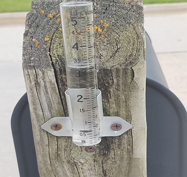
There’s still more than ten days left in September — but it is already one of the wettest in history for some parts of Iowa.
State Climatologist Justin Glisan says the amount of rain so far this month is unprecedented. “It’s been extremely unusual, and I don’t piece those two words together often. But if you look across the state, Western Iowa in the top five wettest September’s on record with 154 years of records, getting into Central Iowa top 10, and then over to Eastern Iowa, which now we’ve seen a shift of rainfall activity over the next forecast period, in the top 20,” Glisan says.
He says thunderstorms are pushing along the edge of heat domes south of Iowa. These so-called “ridge riders” have dumped moisture in concentrated areas, especially along I-80. Glisan says the amount of rain could complicate harvest. “We want to get combines out there to harvest when harvest is ready to go. But you know, with soggy fields, that’ll keep combines out,” he says.
The climatologist says it can also lead to problems with the crops. “Also, we have to think about fungal infections and disease pressure with these wetter conditions, these higher dew points,” Glisan says. Rain is expected to continue this weekend for much of the state. But Glisan says the coming months are typically the driest part of the year in Iowa which could provide relief to both farmers and homeowners with flooded basements.
(By Gavin McGough, Iowa Public Radio)