
 Even with all of the satellite mapping technology on our smartphones, some Iowans still enjoy having the old-school paper road maps in their vehicle’s glove box.
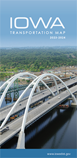
The 2023-2024 edition of the Iowa Transportation Map is now available. Mark Hansen, a transportation planner with the Iowa DOT, says the new edition has a host of changes from last year.
“This year, we got the 2020 Census changes in for the populations of the cities in Iowa,” Hansen says, “so that involved changing hundreds of hundreds of populations for the cities.”
The map shows all of Iowa’s highways, airports, railroad lines, lakes, rivers, and major county roads. Smaller detail maps are also included for the state’s 16 largest cities which identify highways, major streets, and city boundaries.
“We have some new roadways across Iowa. We have the US 30 four-lane east of Tama. We have US 61 four-lane north of Burlington,” Hansen says. “We’ve got several interchanges that were built this last year, so we reflected those correctly on that new transportation map.”
The map includes a chart to find mileage between select Iowa cities along with an index listing all of the cities shown on the map, along with their populations and their map locations.
“New transportation maps are available at the rest areas, the welcome centers, driver’s license stations across the state,” Hansen says. “It’s also available online at iowadot.gov/maps.”
There’s also a link to a mobile app version available at the same website. The maps are printed every two years and they’re free.
(Additional reporting by Pat Powers, KQWC, Webster City)