
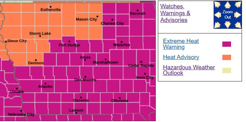
Relief is on the way for the oppressive heat across the state. National Weather Service meteorologist Brooke Hagenhoff says today is the last super, super hot day. “We’re looking at temperatures this afternoon in the upper 90s with heat index of 105 to 110 plus this afternoon with the humidity,” Hagenhoff says.
She says the heat will break overnight. “By the time we get to Tuesday, we’ve got highs in the mid 80s and those will last into Wednesday as well. And by late this week we’ll have low 80s returning back to the forecast,” she says.
The biggest factor that will make it more comfortable will be the drop in the humidity and the heat indices.
“When we account for those heat indices, those temperatures by late, we could feel 20 to 25 plus degrees cooler than what we had earlier here this week.” this week.
An extreme heat warning is posted today for southern, central and eastern Iowa.