
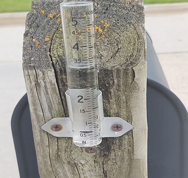
With a third straight day of heavy rain, the flood watch is being extended to cover 40 counties — from southwest to northeast Iowa.
Meteorologist Dylan Dodson, at the National Weather Service, says there’s localized street flooding in areas where it’s been pouring.
“We’ve been getting pretty persistent rain and thunderstorms,” Dodson says. “Generally, amounts have been around one to three inches, depending on where you are, and we had to issue one flash flood warning along the I-80 corridor.”
Motorists are warned to use extreme caution and to expect delays. Significant rises within riverbanks are expected, but most rivers and streams are forecast to stay below flood stage.
Dodson says it appears there will be little change in the weather pattern for several days.
“It definitely looks like we’ll be fairly rainy through the rest of the week,” Dodson says. “It’ll really depend on where our boundary ends up, that’ll determine where all the rain falls later in the week. It’s still a little uncertain. We’ll have to see how today plays out.”
He says high temperatures should top off statewide mostly in the 70s and low 80s through Saturday, with rain likely daily.
(Pat Powers, KQWC, Webster City)